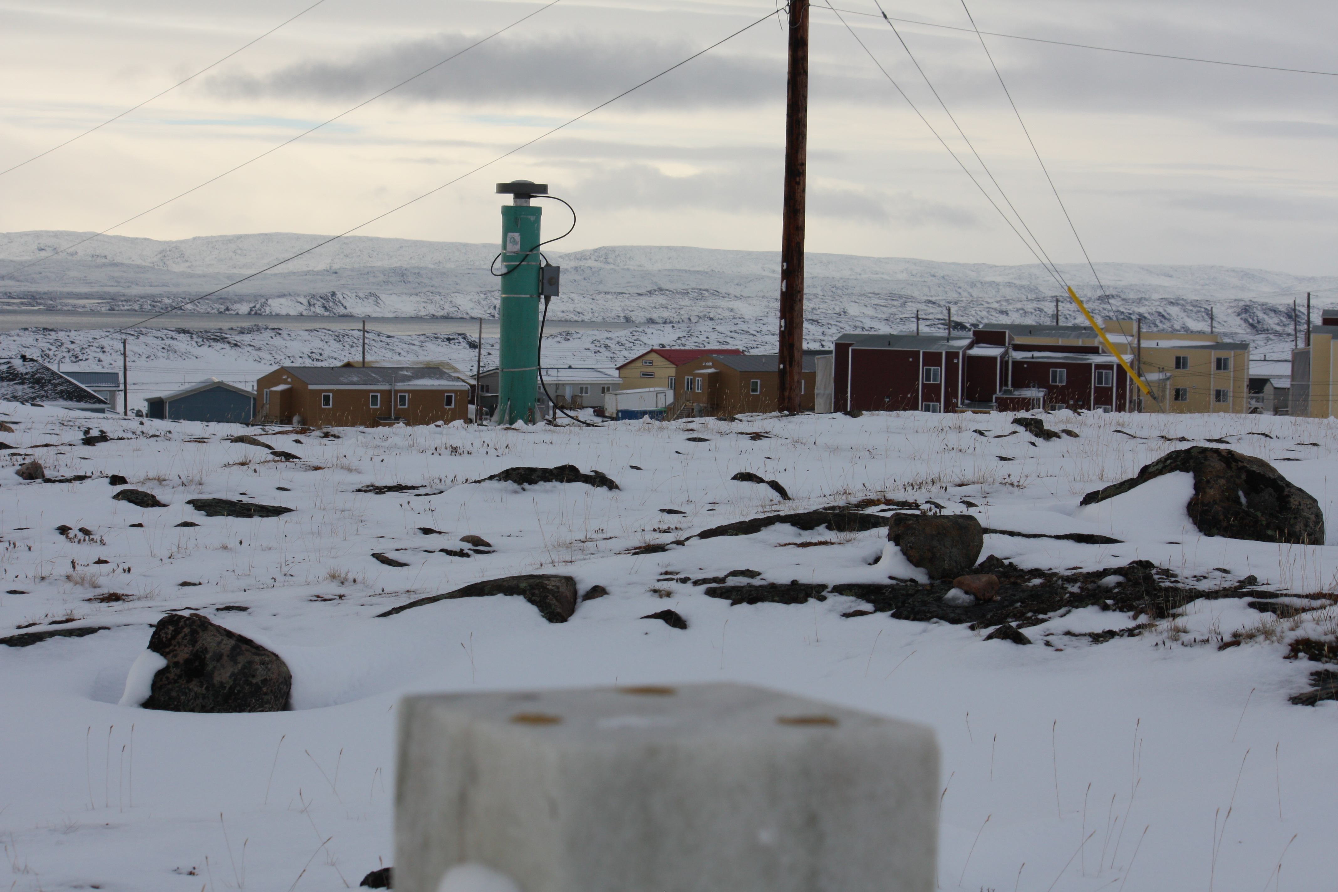
Iqaluit, Nunavut, Canada
Basic information
GNSS station ID: iqal
Location: 63.756, -68.510
Biome: Tundra
Permafrost zonation: continuous
CALM site nearby: Yes
Landcover: A thin till veneer with fairly well-developed soil, with sparse vegetation (Throop et al., 2010)
GNSS-IR measurements
Key information for GNSS-IR
GNSS signal: GPS L1 C/A
Elevation angle: 8–20 deg
Azimuth angle: 30–120 deg
Monument type: Aluminium cylinder
Surface elevation changes in thaw seasons
Reflector heights
Download the iqal.csvNotes:
- MAAT: mean annual air temperature
- Throop, J., Smith, S. L., and Lewkowicz, A. G.: Observed recent changes in climate and permafrost temperatures at four sites in northern Canada, 63rd Can. Geotech. Conf. 6th Can. Permafr. Conf., 1265–1272, 2010.