Rankin Inlet, Nunavut, Canada
Basic information
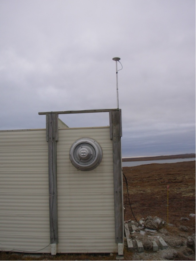
GNSS station ID: ranc
Location: 62.825, -92.115
Biome: Tundra
Permafrost zonation: continuous
CALM site nearby:
Landcover:
GNSS-IR measurements
Key information for GNSS-IR
GNSS signal: GPS L1 C/A
Elevation angle: 5–20 deg
Azimuth angle: 150–300 deg
Monument type: Building
Surface elevation changes in thaw seasons
Reflector heights
Download the ranc.csvNotes:
- MAAT: mean annual air temperature