Repulse Bay, Nunavut, Canada
Basic information
GNSS station ID: repl
Location: 66.524, -86.231
Biome: Tundra
Permafrost zonation: continuous
CALM site nearby: Yes
Landcover: Sands and silts ranging from 1 to 10m thick (Dredge, 1994)
GNSS-IR measurements
Key information for GNSS-IR
GNSS signal: GPS L1 C/A
Elevation angle: 5–20 deg
Azimuth angle: 150–250 deg
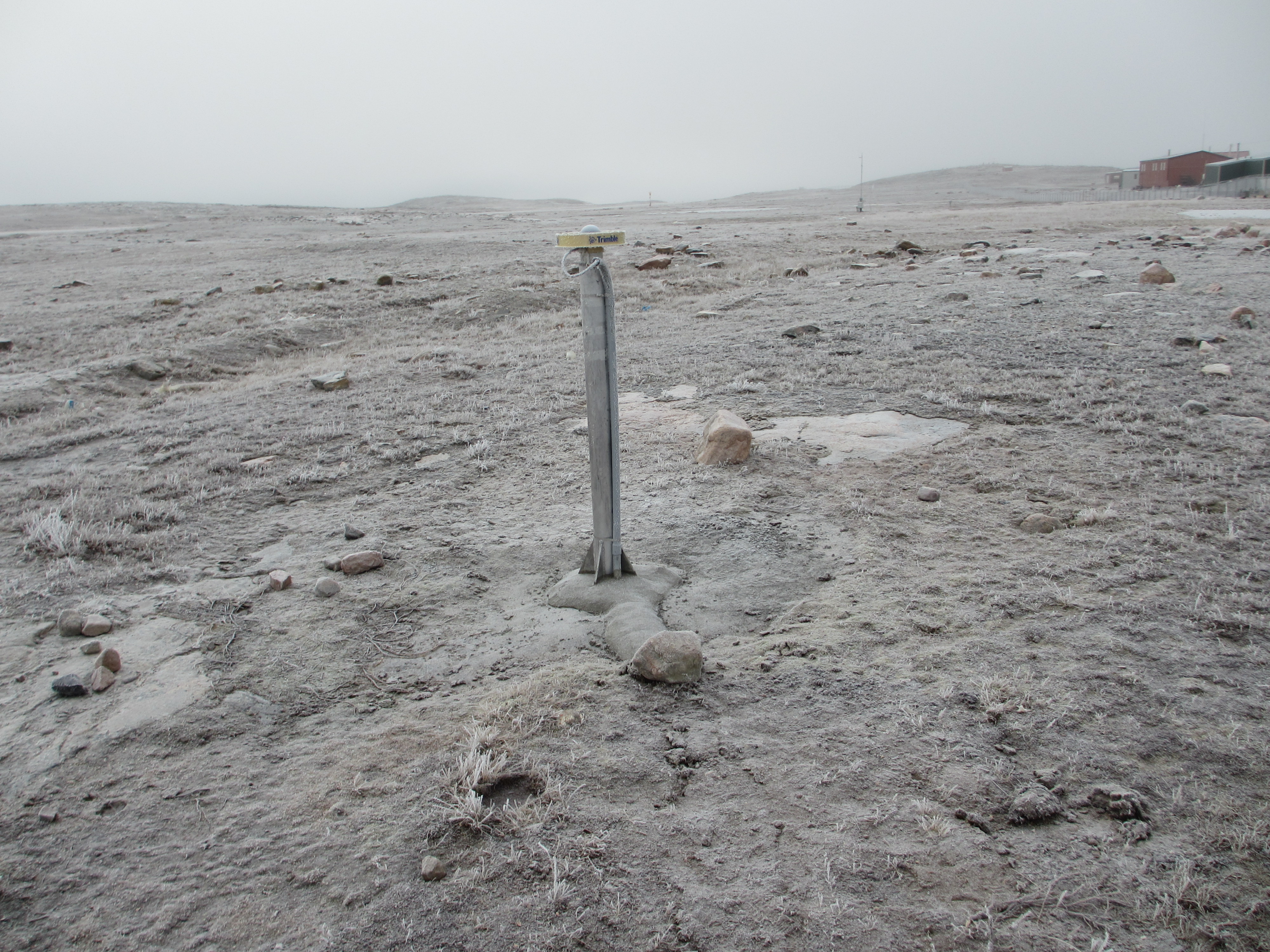
Monument type: Aluminium pillar
Surface elevation changes in thaw seasons
Reflector heights
Download the repl.csvNotes:
- MAAT: mean annual air temperature
- Dredge, L. A.: Surficial geology, Repulse Bay-Hurd Chan- nel, districts of Franklin and Keewatin, Northwest Territo- ries, Geological Survey of Canada, A Series Map 1850A, https://doi.org/10.4095/203636, 1994.