Sachs Harbour, Northwest Territories, Canada
Basic information
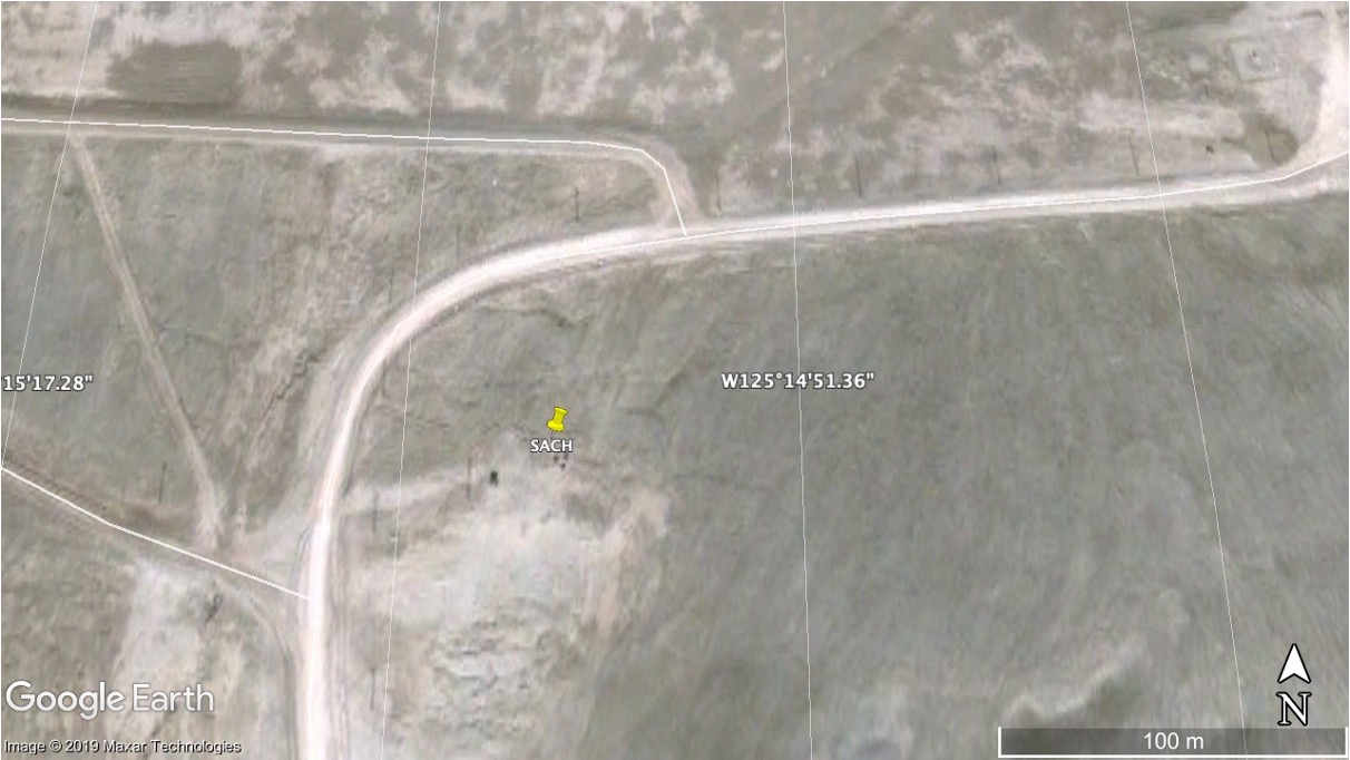
GNSS station ID: sach
Location: 71.990, -125.250
Biome:
Permafrost zonation: continuous
CALM site nearby:
Landcover:
GNSS-IR measurements
Key information for GNSS-IR
GNSS signal: GPS L1 C/A
Elevation angle: 8–20 deg
Azimuth angle: 0–360 deg
Monument type: Building
Surface elevation changes in thaw seasons
Reflector heights
Download the sach.csvNotes:
- MAAT: mean annual air temperature