Utqiagvik (formerly Barrow), Alaska, US
Basic information
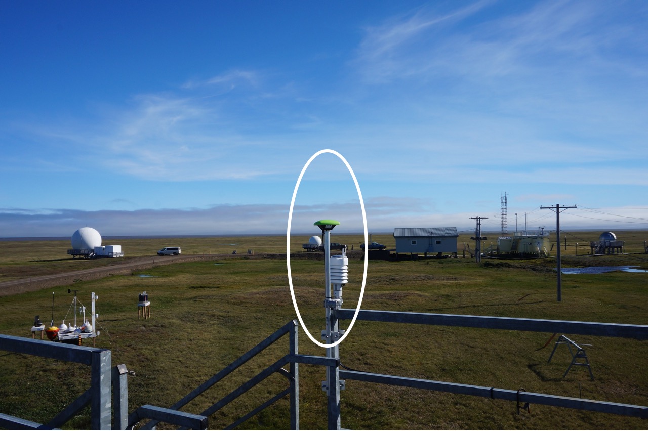
GNSS station ID: utqi
Location: 71.323, -156.615
Biome: Tundra
Permafrost zonation: continuous
CALM site nearby: Yes
Landcover: Organic top layer underlain by silt
GNSS-IR measurements
Key information for GNSS-IR
GNSS signal: GPS L1 C/A
Elevation angle: 5–20 deg
Azimuth angle: 140–250 deg
Monument type: Building
Surface elevation changes in thaw seasons
Reflector heights
Download the utqi.csvNotes:
- MAAT: mean annual air temperature